Persistent rain puts April in 2nd place among wettest
5/2/2011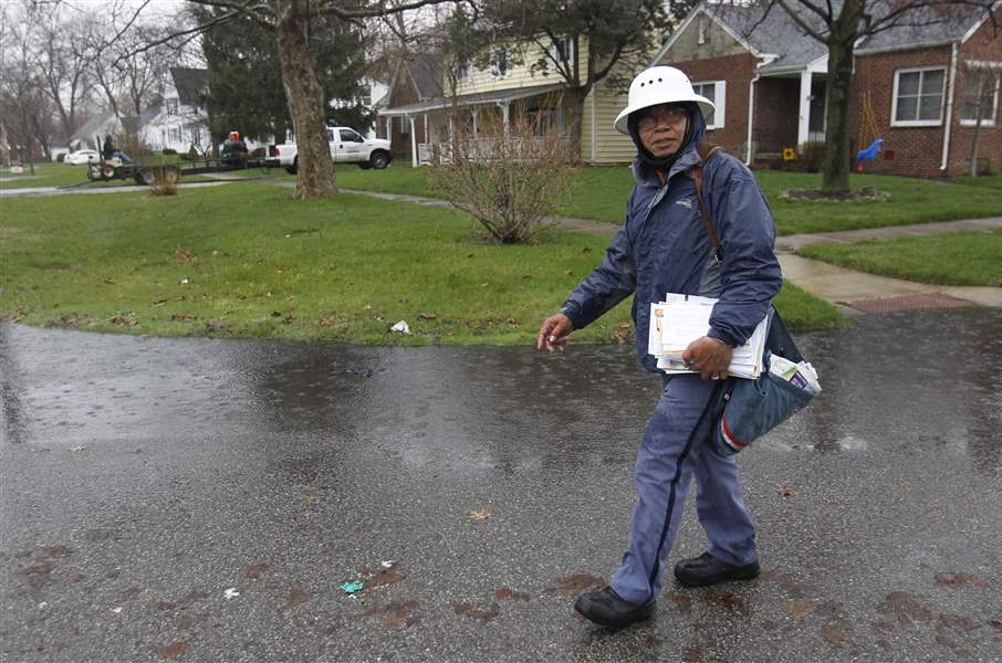
Rolando Buno skirts a pool of water in a front yard as he delivers mail in the rain along Heatherdowns Boulevard in mid-April. He said he's been braving the elements for 17 years.
the blade/lori king
Buy This Image

Waiting for the bus in the rain, a rider stands back from Monroe Street in an effort to shield himself from splashes created by vehicles driving through puddles. Similar scenarios could be glimpsed during most of last week. Showers are likely again today.
A dry finish kept Toledo from reaching its rainiest April on record, but the wet-weather pattern that put last month in second place appears far from over.

Rolando Buno skirts a pool of water in a front yard as he delivers mail in the rain along Heatherdowns Boulevard in mid-April. He said he's been braving the elements for 17 years.
"Any window on the horizon is very small" for drier conditions in northwest Ohio, Tom King, a meteorologist at the National Weather Service office in Cleveland, said Sunday evening.
Two-tenths of an inch early Friday brought the monthly rainfall total at Toledo Express Airport to 6.33 inches, 0.8 inch shy of the 7.13-inch April record for Toledo, set in 1929. And there the monthly total stayed, thanks to a brief break from the gloom for most of Friday and Saturday.
Measurable rain fell at Express 19 days during the month, and a trace was reported on three others. The heaviest 24-hour rain was 1.3 inches, which fell between April 22-23.
In parts of the region, the rains caused river flooding, although more serious inundation was averted when predictions of 3-inch or heavier rainfalls early last week proved erroneous. Serious flooding rain fell instead in southern Ohio, southern Indiana, and the Mississippi Valley.
Mr. King blamed the weather pattern, which is also responsible for the historic waves of tornadic thunderstorms that raked the southeastern United States last month, on an entrenched wind pattern in the upper atmosphere known as a high-level trough.
While the 48.1-degree average daily mean temperature in Toledo last month was only two-tenths of a degree cooler than normal, Mr. King said that average was skewed somewhat by several days when the daily high temperature occurred shortly after midnight before a cold front blew through. The result was a daily mean in the 50s or 60s when daytime temperatures may have been mostly in the 40s, he said.That pattern has kept the Toledo area in generally cooler air, with brief warm-ups ahead of individual storm systems that moved through the area.
Cool, damp weather will persist early this week, the meteorologist said, before another brief warm-up occurs on Wednesday and early Thursday.
"Thursday afternoon, here comes the moisture again," Mr. King predicted, adding that even more dreary weather is likely in the Toledo area for next weekend.
-- DAVID PATCH